How to Know Where You Can Fly Your Drone -Best Places

Flying a drone is fun, but unless you are flying a micro or mini-drone, you’ll have to treat your drone as more than a toy. Rules and restrictions about where drones can fly have been put in place by the FAA and other government units for a few years now, and these have been spurred by the fact that there are probably hundreds of thousands of drones that can fly around on national airspace.
If you’re a beginner drone flight, then you need to take the time to read up on where you may or may not fly your drone. Check out our quick guide below, which may just save you from some legal trouble down the road.
1. Use an app
The most convenient way for you to know if you’re flying your drone in an area where you are allowed to fly is to use a mobile app designed specifically for the purpose. The most basic one is the FAA’s very own app, B4UFLY. The interface of the app certainly feels outdated, but it serves its intended function well. Aside from letting you know about flight restrictions and requirements for any area in the US, the app also provides some helpful links to UAS-related legislation and regulatory information.
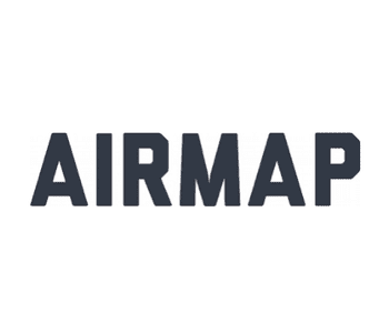
Another drone flight app that we can highly recommend is AirMap. This app seems designed more for commercial drone pilots, but recreational drone pilots can still find a lot of use for it. The app provides real-time airspace information, advisories and alerts, and four different map styles. AirMap is also one of the few drone flight apps that have integrated the LAANC feature for instant flight authorization in FAA-controlled airspace.
Drone manufacturers have even gone as far as embedding information on restricted and controlled airspace on their drones’ firmware. A few months ago, a firmware update on DJI drones made them unable to fly into or take off in designated no-fly zones. Instead, drone pilots will have to apply to unlock these areas either by providing their registration numbers or by providing documentation that they have been authorized to fly their drones in these otherwise-restricted areas.
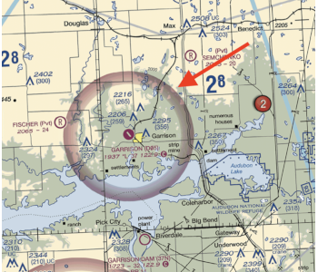
2. Understand airspace classifications
Making use of apps to know where you can or cannot fly your drone is great, but what’ s even better is developing an understanding of the types of airspace we have and how these are relevant to drone flight.
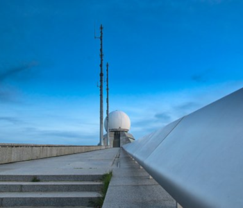
Drone flight is generally forbidden near airports, which fall under the category of controlled airspace. The shape and size of controlled airspace may vary according to the regular air traffic that the airport receives and the orientation and length of their runways. It’s impossible to know this without looking at a map or a sectional chart.
Both recreational and commercial drone pilots may fly in controlled airspace if they can secure authorization from the relevant air traffic control (ATC) facility. Back in the day, this involved having to call up the tower yourself and giving the details of your planned flight. However, we now have the LAANC system accessible through most drone flight mobile apps. Requests sent through the LAANC portal are received by the FAA, who is then responsible for coordinating with the relevant ATC tower. The beauty of this system is that you can typically receive approval for your request in just a few minutes – using just your mobile phone.
There’s also the matter of special use airspace or any airspace that is expected to have an unusual amount of air traffic, mostly due to military activities. Flight in special use airspace isn’t prohibited in all situations, but they are always discouraged. If you do need to fly in special use airspace (if you are allowed, at all), then it is best to practice due diligence and to keep an eye out for other nearby aircraft.
Drone pilots are free to fly in uncontrolled airspace, or Class G airspace, without having to seek for anyone’s authorization. The good news is that there’s a lot of uncontrolled airspace anywhere in the US.
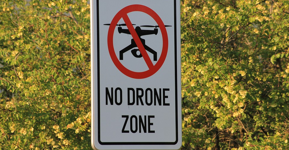
3. National Parks are a no-go

Flying your drone and taking nice aerial photos on national parks and trail hikes sounds like a great idea. What place could be more picturesque? We’re sorry to disappoint you but flying your drone over national parks is just about one of the worst things you can do.
According to a blanket restriction under CFR 1.5, all drone flight is prohibited in areas under the supervision of the National Park Service (NPS). This includes all national parks as well as some historic sites, monuments, wilderness areas, and biking and walking trails. The reason behind this rule is that drones can disrupt the serenity of these sites and may pose a hazard on the visitors and the local wildlife.
This rule isn’t just for show, either. At least one tourist has been penalized for flying a drone over the Grand Prismatic Spring in the Yellowstone National Park back in 2014.
There are a couple of ways to skirt this rule, such as if you are flying your drone for a scientific study. If you don’t quite fall within this strict category, your best recourse would be to fly your drone just outside the border of a National Park and take your aerial photos from there.
4. Steer clear of disaster response areas
Many emergency response services make use of air support when responding to disasters such as for firefighting and for search and rescue. For this reason, drone pilots who are not part of the disaster response team are prohibited from flying over emergency and rescue operation areas.
You can expect a lot of low-altitude air traffic in such areas, and you’ll very likely just get in the way. There have already been several reported incidents where rescue helicopters and aerial firefighters had to be grounded because of the presence of unauthorized drones nearby. As you can imagine, this wastes a lot of time and money, and may even result in unnecessary loss of life.
Some of you may ask: how will you know if there is an ongoing emergency response situation in your area? After all, these types of events may not be immediately obvious to a bystander. Normally, an area with a confined emergency response activity will have a corresponding TFR or temporary flight restriction.
However, a TFR is not necessary, and you may still be cited for a violation if there isn’t an active TFR for the area. Our advice is to always be on the lookout for an unusual level of air traffic or to ask local authorities first before your drone takes off.
5. Check for NOTAMs and TFRs
Not many drone pilots do this, but we firmly believe in the value of checking for Notice to Airmen (NOTAM) and Temporary Flight Restriction (TFR) advisories before your planned mission. Scanning for these advisories can be done through the FAA website or in any of a number of drone flight mobile apps. This is such an easy step to take to make sure that you don’t end up violating some drone flight restriction.
NOTAMs are more of a catch-all advisory that the FAA releases in the interest of airspace safety. The purpose of a NOTAM is merely to inform airmen of an event that could affect the safety of their planned flight operations. Most of these activities are military in nature, such as an airshow or artillery testing. A NOTAM can also be released to inform airmen about the presence of a new obstacle, such as a new building or communications tower.
TFRs are a bit more important, in most cases. Also a type of NOTAM, a TFR is released to declare a particular area as prohibited or limited to drone flight because of a temporary hazard or security issue. TFRs can be issued for an area with disaster response activities, or in areas where the President will be in transit.
One of the most common reasons to issue a TFR is for large-scale events that can draw a huge crowd, such as an outdoor concert or sports event. One of the longest-standing (and unpopular) TFRs has been in effect for years over Disneyland in Anaheim. The main purpose of this TFR is to prevent banner tows over Disneyland, although many pilots have also been admonished for taking the scenic route over the world-famous theme park.
6. Read up on local laws
All of national airspace may technically be under the authority of the FAA, but some states and cities have also established their own laws regarding drone flight. Most of these laws were created to address issues with privacy – a matter that the FAA seemingly isn’t as concerned with. For instance, it is considered a criminal offense in Florida to use a drone to violate a person’s reasonable expectation of privacy. This means that your neighbor may file a case against you if he feels that you are spying on him by flying your drone over his backyard.
Moreover, some states have even implemented their own rules on drone registration and licensing. In Minnesota, all recreational and commercial drone pilots need to register their drones with the Minnesota Department of Transportation, and the registration will cost $100 per year. Moreover, commercial drone operators are required by to have drone insurance and to get a Commercial Operations License from the local government, which costs an additional $30.
It can certainly be frustrating to have to keep up with drone-related policies both at the federal and local levels. However, this is a natural consequence of having independent states and is something that we don’t expect to change in the next couple of years.
Final thoughts
Once you learn how to fly your drone, the next thing you should start learning is knowing where you can fly it. If you’re just starting out as a drone pilot, then you’re already a bit late to the party. Nowadays, there are more drone-related laws and restrictions than ever.
However, following all these laws isn’t really all that difficult as long as you do your homework. The steps we have outlined here should take through all the basic motions that you need to determine where you can and cannot fly that fancy drone. If you have any more questions, then don’t hesitate to sound off in the comment box below.