What does DJI’s No-Fly Zone Do and Where Is It Active?

One of the most important pieces of knowledge that drone pilots need to read up on is airspace classifications and their corresponding flight restrictions. These restrictions are put in place primarily to avoid aircraft-related accidents and to protect national security. The question is: how can a drone pilot know if they are unwittingly about to fly over a restricted zone?
DJI has simplified this matter by developing a technology that prevents their drones from taking off or flying into no-fly zones. How does this technology work? Are no-fly zones absolute and is there really no way to fly a drone in them?
How does DJI implement no-fly zones?
DJI’s signature geo-fencing feature, the Geospatial Environment Online (GEO) was first introduced in 2013 and was integrated into the DJI GO app. This feature was developed by DJI in partnership with aviation tech company Altitude Angel. The system delineates areas where it safe to fly, where flight is restricted, or where drone flight may raise concerns.
More recently, DJI released an update called GEO 2.0 which implemented the use of 3D bowtie-shaped flight restrictions zones along airport runways. The restrictions zones surrounding security-sensitive areas were also changed to more complex polygon shapes rather than plain circles.
The latest update also integrated the new regulations under Section 384 of the FAA Reauthorization Act, which designated the final approach corridor of major airports as “runway exclusion zones.” The GEO 2.0 firmware update was rolled out around November 2018.
By default, the GEO 2.0 feature classified airspace into nine different classes, each one prompting a different response from the app or the pilot.
- Restricted zones – Marked red on the map, flight into or take off in restricted zones are prohibited.
- Authorization zones – These are marked blue on the map. By default, users will not be able to fly in Authorization zones unless they go through the unlocking process using their DJI verified accounts.
- Altitude zones – Marked gray on the map, drone flight is allowed in Altitude zones but only up to a specific altitude limit. Users will receive a warning message when flying in Altitude zones.
- Warning zones – Drone flight in Warning zones is permitted, but conditions are typically sensitive enough for a drone pilot to exercise due diligence.
- Enhanced Warning zones – Drone flight in Enhanced Warning zones need to be unlocked, but you will not need a DJI verified account for the unlocking process.
- Densely Populated area – As the name implies, these are the areas where the population is more concentrated than usual, such as commercial blocks. Drone pilots are discouraged from flying over such areas.
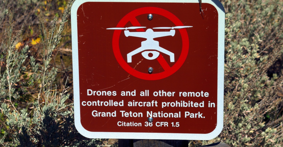
- Regulatory Restricted zone – These are special areas where drone flight is strictly prohibited. Usual examples include government buildings, military installations, and prisons.
- Recommended flight – Lastly, these are the areas where DJI recommends that you fly your drone. These are marked green on the map.
During the development of GEO 2.0, DJI consulted with the Aircraft Owners and Pilots Association (AOPA) and the American Association of Airport Executives (AAAE) so that their expertise about airports and air traffic can be integrated into the updated geo-fencing feature. With the new safety features, DJI has managed to align their standards with risk-based airspace boundaries.
Aside from the permanent flight restrictions the DJI GO app can also receive updates about temporary flight restrictions (TFRs) and implement them accordingly. This feature can be especially useful in case an area receives an emergency service response or a situation requires military or law enforcement monitoring.
Is this really necessary?
Unfortunately, the need for the automatic geo-fencing feature has been brought about by real-world incidents involving drones flight in restricted airspace. The most recently well-documented case was in Gatwick Airport, the second largest airport in the UK. For a few days back in December 2018, flights in the airport had to be shut down due to the presence of multiple drones flying around the runway.
Aside from preventing any flights from taking off, several flights had to be diverted to other airports as they were unable to land. All in all, the renegade drone activity resulted in 760 flights getting canceled or delayed, which affected more than 110,000 passengers.
The kicker is that just the month before the Gatwick incident – November 2018 – there were at least 13 drone-related incidents in airports located all around the world. In fact, reports of drones flying over restricted areas come in practically every day.
Last April 14, pilots of fixed-wing aircraft in the Danbury airport reported the presence of a drone in the immediate airspace as they were landing. Although the suspected drone pilot was seen somewhere nearby, no apprehension was made even when law enforcers scoured the area.
During this month’s game between the Red Sox and the Toronto Blue Jays, a drone was seen flying over Fenway Park during the last few innings. Although it did not come close to the field, the drone pilot was clearly showboating as the drone made a few laps and even made a few quick drops. Again, the drone pilot was never found.
These reports do not even include more sinister uses of drone technology, such as smuggling of drugs and other illegal goods inside the Agassiz’s Kent Institution, a correctional prison in Canada.
As with any piece of technology, it has become clear that drone flight cannot be allowed to grow without being regulated. The FAA has somehow done a good job by promoting responsible drone flight standards. However, no piece of legislation can stop people with malicious intent – that is, until they run the risk of getting caught.
While anti-drone technology remains a very controversial matter, the integration of geo-fencing features into popular drone models is a good step forward towards ensuring that drone flight is safe for everyone – drone pilots, manned aircraft, and spectators alike.
Is there a way for a drone pilot to unlock no-fly-zones?
Fortunately for responsible and law-abiding drone pilots, not all the restrictions enforced by GEO 2.0 are absolute. Depending on the risk level of the area you want to fly in, the app offers two ways to unlock them.
1. Low-risk zones
Authorization zones and Enhanced Warning zones are considered low-risk and accessing them can be done using the self-unlocking procedure. You can do this either through the DJI GO app or through DJI’s FlySafe website.
When you attempt to take off in a low-risk zone, a warning message should pop up which will ask you if you want to unlock the zone. Simply tap ‘Yes’ to activate phone verification. The unlocking license will be tied to your DJI account, and you can view and manage your active licenses through the app.
If you want to unlock your intended flight area before going out in the field, then you may do so through the DJI website. The process is essentially the same, and you can download the unlocking license to your DJI GO app afterward.
2. High-risk zones
High-risk zones can only be unlocked if you have permission from the relevant authority, such as the air traffic control of a nearby airport. If you have the necessary documents, unlocking a high-risk zone can be done through custom unlocking in the DJI FlySafe website.
Under custom unlocking, you will need to provide the drone model you are using, the drone registration number, and any document showing that you are authorized to fly in the zone. Approval shouldn’t take long, and you should receive a confirmation email right after. You can then proceed to download the unlocking license on your DJI GO app.
DJI’s unlocking service is available 24/7, so you don’t need to worry about having to wait a long time for your application to be approved. DJI also promises to get back to you regarding your request within an hour.
Final thoughts
Drones, while certainly useful for a lot of industrial applications, have also become a constant source of headache for airport personnel and law enforcers around the world. The problem is that we still don’t know what to do about them when they turn into a nuisance.
Anti-drone technology is still considered either illegal or unsafe, making law enforcers severely under-equipped to deal with such matters. DJI’s integration of geo-fencing features into their drones is a step in the right direction. Yes, there have been complaints from drone pilots who have suddenly found that they can’t launch their drones even from their backyards. However, DJI does provide an unlocking option that ensures that you are still flying within the legal boundaries.
We concede that this is another layer of bureaucracy that drone pilots have to deal with, and nobody likes that. However, we also cannot deny that the malicious use of drones is starting to become a bigger and bigger problem. It is an unfortunate truth that a few rotten apples can spoil a whole bunch. At this point, the best we can do as drone pilots is to fly within legal limits and support education for better drone practices.