How To Find Awesome Drone Photography Locations?

Perspective is all that matters when you take a photo. Many professional photographers surprise us by turning the most commonplace objects into things of beauty simply through the magic of their lens.
Attractive drone photography of different locations also relies on the angles you choose and the perspective you have of the place. Sometimes, things as common as a roundabout can be transformed into idyllic photography objects with the right perspective.
Most of the times, I step out in a location with complete preparation about the angles and the positions from which I would like to photograph the place. Doing my homework saves me time in the field and allows me to get to my work immediately.
For this pre-photography preparation I rely heavily on a few tools:
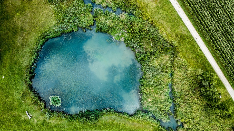
1. Google Earth
Available on desktops, laptops, phones and tablets, Google Earth is one of those apps that make pre-photography prepping up very easy. There are different ways in which you can search for good drone photography locations in Google Earth.
You can either zoom in to a certain region where you want to go and then look for good photography locations by scrolling around the place or you can pick the photo mode which brings up photos tagged in the area uploaded by other users.
Once you find the location your will be photographing, you can switch to Street View and check the accessibility of the place, how crowded it gets and the times when you will be able to use your drone without any problems.
2. PlanIt! For Photographers
Short for PIFP, PlanIt! For Photographers is a cool app that can integrate with Google Maps and give you loads of information that will be of help when using your drone to photograph a location.
You can see a terrain map and you can even find aerial views of the place helping you discover the places that will turn out awesome when photographed with a drone. You can also find added details like sunrise and sunset information helping you find out where the sun and moon will rise and set for a particular location. It also tells you how light pollution in a region may affect the photos.
I use this app to find great locations in the place that I already am, and then use the info provided by the app to enrich the quality of my photography.
3. 500px
A lot of times, awareness comes through a community and not individually. 500px is one such community of photographers where you will realize how much more is possible through photography. This app is not exclusively for drone photographers but it helps in getting a lot of ideas about angles and vantage points from which photos can be taken. If you are in a particular location, use this app to find out great photos taken around the place and you can then switch to Google Earth or PFPI for further details and to prepare for your drone photography session of the place.
4. Local Meet-ups
I find a lot of inspiration when I meet other drone users who have enjoyed the chance of photographing some great locations. It is easier to connect with people when they meet face to face because you can see them using their drones and you can talk to them directly to learn of their experiences and to perceive their excitement of different places that they may have visited.
If you have drone users in the area you live then you can connect with them through local meet-ups in a café or a bistro. You can even ask them about the editing software programs that they use or the angles that they most prefer for drone photography.
5. Drone User Communities and Forums
While local meet-ups are good when you want to meet drone users in the same locality, user communities and forums are good to connect on a larger level – people from around the globe. You can talk to them about the places close to their locality and find out which areas would be great before you plan a trip. Global users can also share a wealth of knowledge about different photography equipment and tools which can improve your drone photography.
Remember to Check Local Rules before You Fly
Lastly, no matter where you fly, it is always important to be compliant with the local rules regarding drones. So be sure to check with the local authorities if you are permitted to fly in a specific place or not. I always feel that this small bit of pre-flying work can save us drone users from lots of hassles later.
The FAA is the authority for checking about such permissions in USA. Be sure to do your research about local authorities and their laws beforehand.